
Hopewell Neighbors by Block
For this address search, a neighbor means a civic, legal, ward, postal, or GIS relationship to a block. It does not mean a verified personal relationship or a current-person roster. Begin with the address as a geographic key. The resulting map, property, ward, and organization sources can show how the block is organized and which public office holds a related record. They do not establish who is presently at every nearby address.
| Block source | What It Shows About a Block | Access |
|---|---|---|
| CivQuest Atlas | Address, parcel, legal-description, and map geography with city layers | Public map interface |
| Hopewell assessment and Land Book records | Property and assessment information, including an owner field in the documented Land Book format | City records and annual archive |
| Ward map and elections office | Ward geography and polling-place information that must be rechecked | City election route |
| Community-resource directory | Organizations and civic resource categories, not personal rosters | Public category and name search |
| USPS ZIP Code Lookup | Postal city, state, and ZIP normalization | Official postal tool |
Keep these sources in their own lanes. An assessment entry is not an occupancy record. A ward is not a social boundary. A postal city label is not a municipal boundary. The city resource directory describes organizations, not their members, supporters, or contributors. Note: Preserve the source date and map context when comparing nearby parcels or historic locality labels.
Hopewell Neighbors on CivQuest Maps
CivQuest Atlas is Hopewell's current public property and mapping route. The city says it replaced qPublic and documents four ways to start: address, parcel number, legal description, or map search. The map also provides layers for zoning, contours, FEMA flood hazard areas, Chesapeake Bay Protection Areas, Enterprise Zones, and wards. Those layers describe the city geography around an address. They are not a resident list, and the city cautions that the map is general information rather than a survey or floodplain determination.
| Documented map key | Use for a Hopewell block | Boundary |
|---|---|---|
| Address or parcel number | Find the city parcel or mapped location | Live parcel-card fields were not captured |
| Legal description | Compare a recorded land description with mapped geography | Does not establish current residence |
| Zoning, contours, hazard, protection, enterprise, and ward layers | Understand the civic and physical context around the block | General-information layers, not survey findings |
Hopewell's zoning and subdivision update page provides context for the city's changing planning vocabulary and map layers.
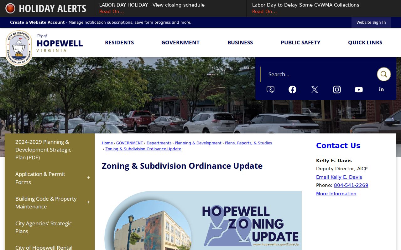
Use a layer to ask a geographic question, such as which ward or mapped district includes an address, then confirm any regulatory or flood-related decision with the responsible city office.
Hopewell Neighbor Wards and Postal Areas
Hopewell uses wards 1 through 7. The city's 2022 ward map showed those wards and then-current polling places, but election administration changes, so the Elections and Voting page is the place to recheck an assignment before relying on it. Ward geography can help a resident connect an address to a city council and polling context. It should not be used to infer voting choices or publish voter information.
Postal geography creates a second boundary. USPS ZIP Code Lookup is useful for normalizing city, state, and ZIP information, but the research did not verify every 23860 delivery result. A Hopewell mailing label, a Hopewell city parcel, and a North Prince George location can be close together without being the same jurisdiction. Riverside Regional Jail, for example, is physically in North Prince George even though it serves Hopewell and other localities. Confirm municipality, independent-city or county status, historic locality, and record date before treating an address as a Hopewell record.
Hopewell Neighbor Civic Sources
The city community-resource directory is the appropriate civic layer for a Hopewell block. It offers a category selector, a name field, A-Z and ALL first-letter filters, and Search controls. Results are organization listings. That makes it useful for finding a community resource or confirming that a civic group is listed, but it is not a route to membership, donor, volunteer, or personal contact lists. Check each organization's own official information before acting on an older city listing.
| Civic source | Local purpose | Access route |
|---|---|---|
| Community-resource directory | Find listed civic organizations by category, name, or letter | City directory search |
| Keep Hopewell Beautiful | Council-appointed community-pride and adopt-a-street work | City committee information |
| Volunteer Opportunities | City boards, commissions, police volunteers, youth commission, and talent-bank pathways | City volunteer information |
| MyCivic 311 | Address or ward-related concern reporting and status checks | City concern route |
Hopewell's community-resource directory shows the official search controls for civic and organizational listings.
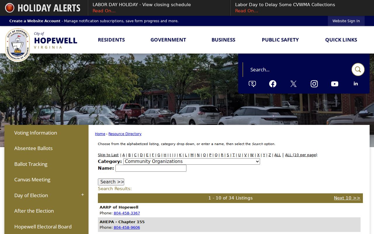
The category, name, and letter filters support an organization search without reducing a Hopewell block to a personal roster.
Keep Hopewell Beautiful is a seven-member committee appointed by City Council and coordinates adopt-a-street or adopt-a-spot and community-pride efforts.
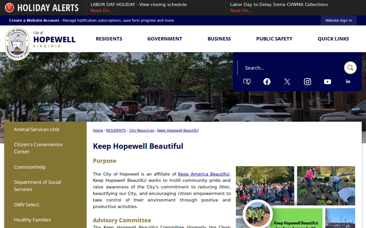
That committee is a civic connection point for a block, not a source of names belonging to a neighborhood.
Mapping a Hopewell Neighbor Block
Map a Hopewell block by moving from the known address to nearby geographic units, not by trying to construct a list of nearby people. CivQuest documents the address, parcel, legal-description, and map starting points. When a parcel reference is needed, the Hopewell assessment route and Circuit Court Clerk's land-record process can help separate a map feature, an assessment record, and a recorded deed. Each one answers a different question.
- Enter the known address in CivQuest or locate it with the map. Confirm that the result is within Hopewell's independent-city geography.
- Use visible surrounding parcel boundaries and documented map layers to understand the immediate block. Do not claim unverified result-card fields that were not captured in the research.
- For a property-record question, compare the city assessment or Land Book context with the parcel reference. A Land Book's owner field is an assessment record, not proof of current presence.
- For a deed or legal-description question, contact the Hopewell Circuit Court Clerk at 100 E Broadway, Room 251, 804-541-2239, and retain the instrument date and jurisdiction.
For a full named-street record chain, including deeds and address-keyed sources, use the Hopewell street-address directory. That wider method belongs with street research, while this block route stays focused on the immediate block.
Hopewell Neighbor Volunteer Routes
City volunteer pathways offer a public way to engage with Hopewell neighbors without requesting personal details. The city's Volunteer Opportunities page describes boards and commissions, police volunteers, a youth commission, and a talent-bank route. These are formal civic channels with their own application or contact process. Use the city's current page for participation details instead of treating an old directory listing as a current contact record.
Hopewell Volunteer Opportunities displays the city's current civic participation routes.
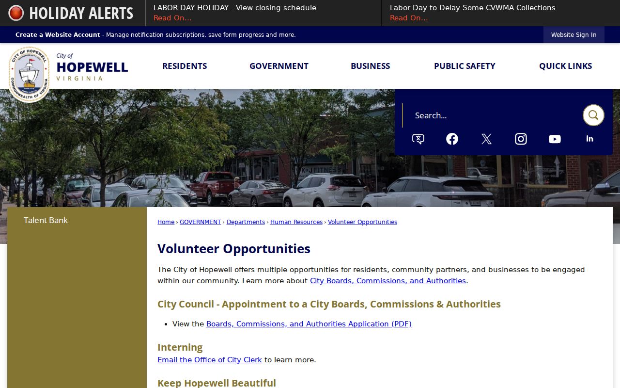
These routes connect people with city programs through the responsible department rather than publishing a block-level roster.
For a local condition, use MyCivic 311. The city describes address and ward issue routing for code concerns, drainage, nuisances, animal barking, street lights, and street signs. Reports can be submitted anonymously, and users can check updates. Exact dynamic form fields were not captured, so follow the live form rather than assuming what it requires.
MyCivic is a service-request channel, not evidence about a person or a source for tracking activity around a Hopewell address.
Hopewell Neighbor Historic Geography
Downtown Hopewell and City Point are named historic districts that add useful context to a block search. The city also identifies City Point as an earlier locality, and the Library of Virginia records that it was annexed by Hopewell in 1923. Historic labels can explain why an older map, archive, or deed is filed under a term that is not the one used by a current address. They should be preserved as search terms, not used to rewrite the original source.
Hopewell's Historic Districts page introduces the city geography of Downtown Hopewell and City Point.
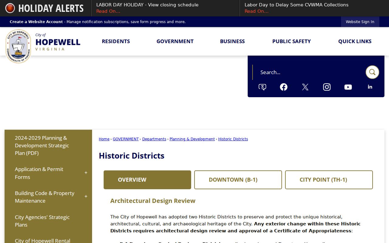
Historic-district context can make a block more understandable while leaving private personal information outside the research process.
Hopewell Neighbor Source Boundaries
Official city and state sources identify their custodian, search key, and access limits. Commercial neighbor-search categories may combine old records, but their collection methods, update practices, and sourcing are not the same as a city assessment, court, election, or civic record. Compare the source type before relying on a result, and bring a question back to the official custodian when a record has consequences.
| Source category | What to check | Safe conclusion |
|---|---|---|
| Official city or state record | Custodian, date, search key, and stated access rule | The record can support only the fact the custodian publishes |
| Commercial neighbor-search category | Source date, error risk, and whether an official record is cited | A lead may require independent official verification |
Do not use either category to make a household claim, expose personal contact details, or infer a person's activities from a property or civic record.
Hopewell Neighbor Record Requests
Some block-level questions concern an existing city document rather than a map search. Virginia's Freedom of Information Act, Code § 2.2-3700 et seq., allows a reasonably specific request for records held by the city. Name the record, date range, department, and desired format. The agency can provide an existing record, withhold material under an exemption, explain that no responsive record exists, or say why additional time is needed. It does not need to create a new block report or compile a list of people.
Hopewell's FOIA route says the city responds within five working days, may charge actual reasonable costs, and can provide an estimate. The Public Records Officer is reachable at 804-541-2247 and foia@hopewellva.gov. Use that process for city records, while recognizing that protected addresses, sensitive personal data, and exempt material may be withheld.
Hopewell Neighbor Lookup Limits
Virginia's Address Confidentiality Program allows qualifying participants to use a substitute address under Code § 2.2-515.2, and protected information can be withheld or redacted. Voter records are governed by the separate eligibility and signed-use rules in §§ 24.2-405 and 24.2-407. The Driver's Privacy Protection Act restricts personal information from motor-vehicle records. City utilities, delivery data, protected court matters, and private contact information are not a path to identifying Hopewell neighbors.
Lawful use. Use Hopewell neighbors information for civic understanding and personal, lawful research. Never use maps, records, or civic sources to stalk, harass, intimidate, monitor, or expose another person.