
Walk Hopewell Streets by Address
For a current Hopewell address, start with the parcel system rather than a name list. The city identifies CivQuest Atlas as the current property-search platform. Its address, parcel, legal-description, and map searches can establish the parcel or map reference that holds the rest of the trail together. Ownership is a public-record question; it does not by itself establish who is presently at an address. Keep the street spelling, parcel reference, record date, and jurisdiction in your notes.
- Enter the street address in CivQuest Atlas and save the parcel or map reference, if the public result supplies one.
- Compare the location to the annual assessment material and note whether the search is for a taxable or exempt property record.
- Use the Hopewell Circuit Court Clerk route to look for a recorded instrument when an owner or legal description needs confirmation.
- Check a ward or map layer only as geographic context, then use an official individual election service for a personal status question.
- For an older address trail, try City Point and Prince George County as historic locality terms before deciding the record is absent.
The sequence is deliberately narrow. It moves from a street location to records tied to that location, rather than turning the street itself into a list of people. A record can be old, redacted, or maintained by another office. That is why the date and the custodian matter at every step.
Hopewell Street Directory Search Keys
Insider tip: Hopewell now directs property researchers to CivQuest Atlas, not the former qPublic platform. The city documents four starting keys. They are useful for resolving a street spelling or matching an address with the parcel language used in an older record. The live Atlas result card was not captured in the research, so fields such as assessed value, ownership, or document links should be read from the live official display rather than assumed.
| Documented Atlas field | How it helps with a street search |
|---|---|
| Address | Starts with the street location already known. |
| Parcel number | Connects an address to an assessment or land-book reference. |
| Legal description | Helps when an instrument uses lot or tract language instead of a street number. |
| Map | Places the search on the city’s geographic layer view. |
The Hopewell Real Estate Assessment office explains the city’s reassessment and ownership-record role. Its official page is also the source shown here before the image.
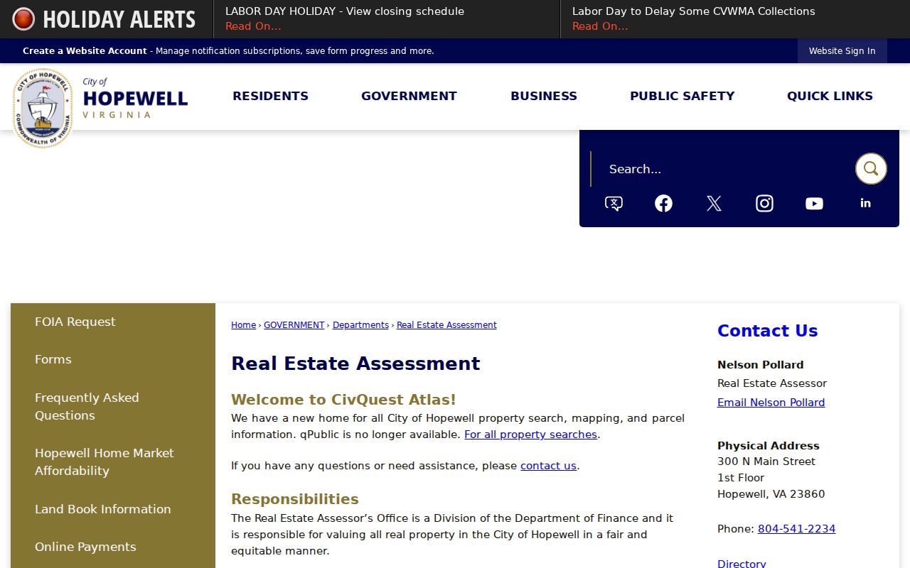
The assessment route is a sound first stop because it distinguishes a property record from a deed or a map layer.
Hopewell Land Books by Street
The city’s Land Book Information explains that annual books cover taxable and exempt real property, with a separate exempt listing for government, religious, charitable, and historic-property categories. The city assessor performs a biennial reassessment, maintains ownership records, and prepares the annual land book. A land book is an assessment record, not proof of a current resident list or a complete history of every change at an address.
Numbers to use carefully: the city archive lists Hopewell land books from 2014 through 2026. The dated run is valuable when a current online view is unavailable or when a particular year matters. It also has a clear boundary: a historical file is a snapshot for its own date, not a substitute for the current parcel platform.
The Land Book Information page is the source for this Hopewell record-access image.
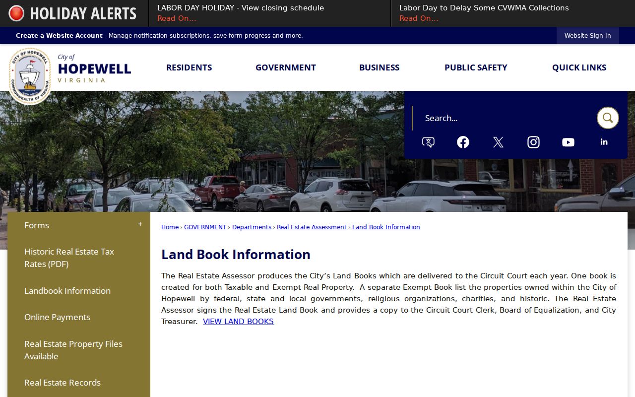
The city’s land-book route helps place an address in a dated assessment record before a researcher follows a separate deed or permit path.
Hopewell Street Map Layers
CivQuest adds a geographic layer to the Hopewell street directory. The city lists zoning districts, contours, FEMA flood-hazard areas, Chesapeake Bay Protection Areas, Enterprise Zones, and wards among the available layers. Those layers can help identify the city context attached to an address. They do not turn a map into a survey, design document, or floodplain determination, and they do not identify a current household.
Wards are especially useful as a civic cross-check. Hopewell’s 2022 ward map identifies wards 1 through 7, but ward assignments and polling places should be confirmed for the relevant election cycle. Use the layer to understand location, then rely on the appropriate city or election office for the record being sought.
Note: A parcel map, an assessment entry, and a recorded instrument describe different parts of the same address trail.
Hopewell Deed Trails by Address
The Hopewell Circuit Court Clerk is the local recorder for deeds and other land instruments. At 100 E Broadway, Room 251, the clerk maintains the land-record route as well as probate and circuit-court records; its public phone is 804-541-2239. A deed index may provide grantor and grantee names, instrument and recording dates, book or instrument references, legal-description language, and prior or later instrument leads. Actual fields can vary by document, so read the record rather than treating a search result as a complete property history.
Virginia’s Secure Remote Access land-record route can require local participation, a subscription, or authentication. Research did not verify Hopewell’s current index, image availability, or date coverage there. The state’s Hopewell land-record cover-sheet page does show the vocabulary used to construct an instrument: content, grantors, grantees, parcels, and review and print. A grantor is the party conveying an interest; a grantee is the party receiving it.
For historic street work, record the instrument date with the locality name. A City Point or Prince George County label can be the correct historic description even when the same place is now associated with Hopewell.
Hopewell Permit Records by Street
The city’s Building Code and Property Maintenance division routes plan review, permits, inspections, construction changes, removals, demolition work, and code complaints. These records can supply administrative context for a particular address, such as a project or inspection trail. They do not establish who is there now, and an old record should not be used to make a claim about a person.
The available research did not expose an exact public permit-search screen or result model. If an online search does not reveal the needed existing record, ask the city whether a request, counter search, or other documented channel is available. A focused request should identify the address, time period, and record type. Under the Hopewell FOIA route, the city says it responds within five working days and may provide an estimate for records access. The City Public Records Officer is reached at 804-541-2247 or foia@hopewellva.gov.
The Building Code and Property Maintenance page leads into this record-access image.
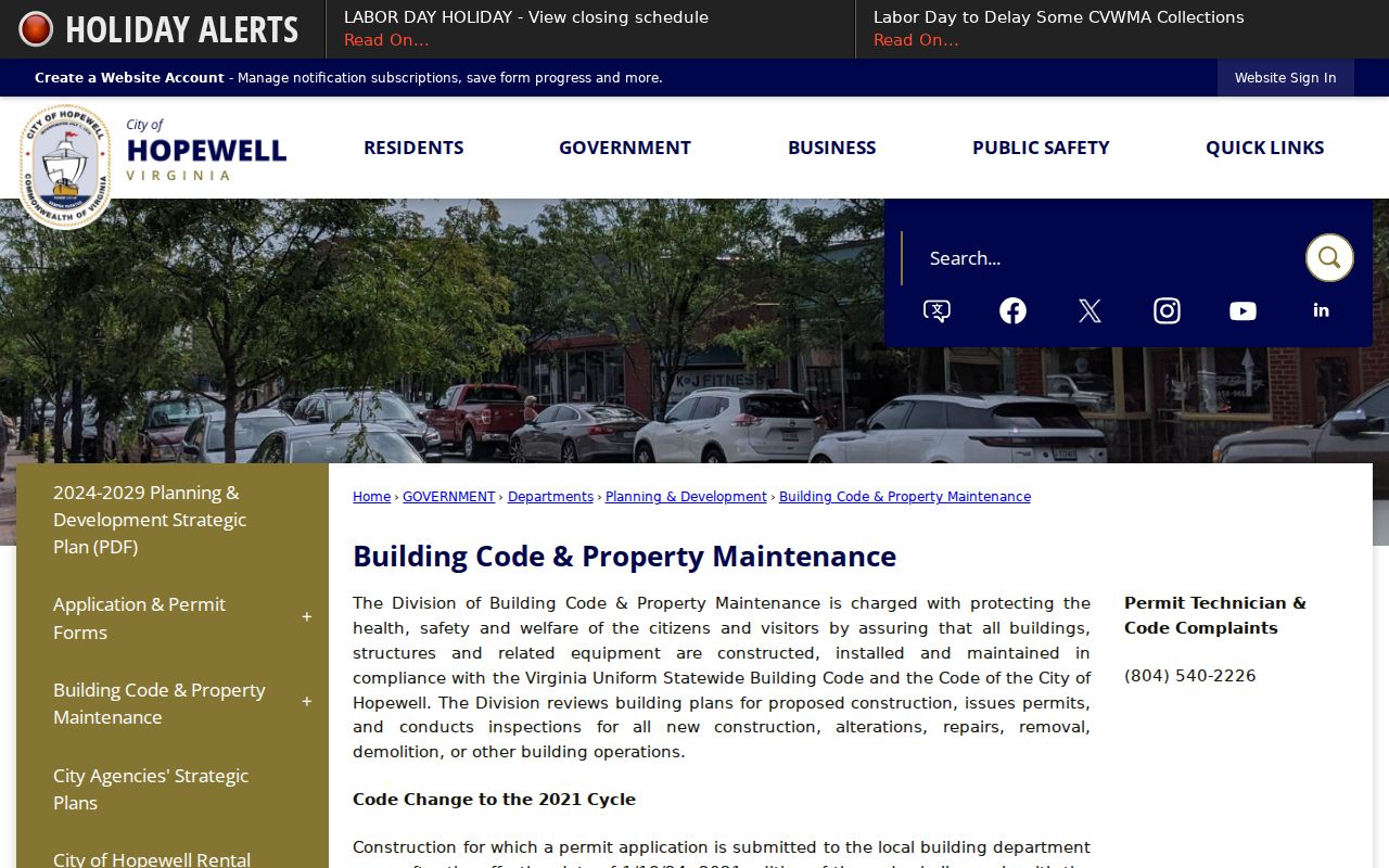
The image marks the correct city division for address-based permit questions without suggesting that every permit field is publicly searchable online.
Hopewell Maintenance Reports by Address
Hopewell Property Maintenance applies the Virginia Maintenance Code and Hopewell City Code Chapter 18. The city also uses MyCivic 311 for code enforcement, drainage, nuisance, animal-barking, street-light, and street-sign reports. The service allows anonymous submissions and update checks. These systems are meant to route a concern, not to create a directory of accusations or a list of people associated with an address.
A real-estate inspection form illustrates the sort of administrative terms that can attach to an address: application number, sub or parcel number, unit, zoning, ward, and approval or certification dates. Exact permit and maintenance result fields were not exposed in the research. Treat that absence as a reason to ask the custodian about the record, not as permission to guess at a file’s contents.
Property Maintenance is the source for this Hopewell record-access image.
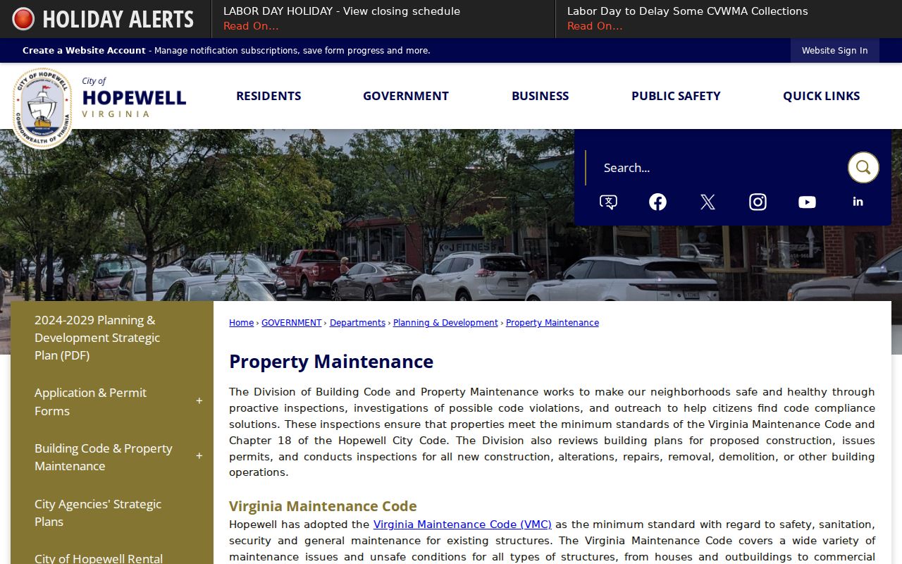
For a street-level search, maintenance and complaint routes add administrative context but should never be used as a claim about a resident.
Hopewell Self-Service Rechecks
The city’s self-service portal groups real-estate and personal-property services with permits, inspections, tax inquiries, utility billing, and business-license inquiries. It has an account or login boundary. Do not use an account-only screen as though it were a public record, and do not expect a single search to join every city system.
When an address appears in more than one source, compare the dates before drawing a conclusion. A dated land book, a later instrument, and an administrative record may all refer to the same place while reflecting different events. The city’s portal is useful for locating the correct service area, then the responsible office can confirm what access is available.
The city self-service landing page is the source for this Hopewell record-access image.
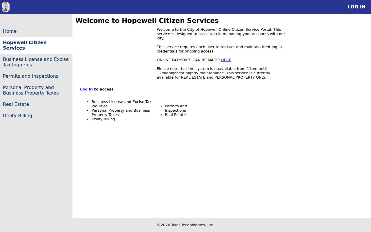
The account boundary in the image is an important reminder that a public directory search and an authenticated city service are not the same access channel.
City Point Street Names
Quirk: older street research can require more than the modern Hopewell name. The Library of Virginia locality history records that Hopewell became an independent city in 1916, annexed City Point in 1923, and later received Prince George County territory in 1952 and 1969. A historic deed, map, newspaper, or directory can therefore use City Point, Hopewell, or Prince George County for related places.
Try the old locality name and preserve the date in the research notes. That is more reliable than forcing a historic record into a modern jurisdiction. The historical shelf is handled in greater depth by the Hopewell city directory collections, where library and archive access provide a separate route for older address evidence.
Hopewell Street Directory Records
Address-keyed sources work best as a chain, not as interchangeable lists. The table separates the custodian, access boundary, and modest conclusion each source supports. It also keeps the independent-city jurisdiction visible: a current Hopewell parcel generally starts with the city assessor and the Hopewell Circuit Court Clerk, not with a default Prince George County search.
| Address record | Hopewell keeper | Street-level use | Access boundary |
|---|---|---|---|
| Parcel map and assessment route | Assessor and CivQuest Atlas | Locates an address, parcel, legal description, or map context. | Public platform; live result fields need confirmation. |
| Annual land book | City Assessor and Circuit Court copies | Places property information in a particular yearly assessment record. | Archive lists 2014 through 2026; taxable and exempt books differ. |
| Recorded land instrument | Hopewell Circuit Court Clerk | Follows parties and legal-description references through documents. | Remote index and image availability were not verified locally. |
| Permit or inspection material | Building Code and Property Maintenance | Identifies a city administrative record path for an address. | Exact public search fields were not captured. |
| Ward and map context | City GIS and Registrar routes | Places the address in civic geography. | Ward and polling information should be rechecked. |
For an election question, Virginia provides an individual status tool that requires personal inputs and certification. Hopewell’s Registrar is at 106 N Main St, 804-541-2232. Statutory voter-list requests have eligibility and use limits. Neither route supports building a street-by-street resident roster.
Limits of Hopewell Street Records
Some useful records are restricted, incomplete, old, or not exposed in a public search. CivQuest is a map and parcel platform, not a survey or flood determination. A land book is dated assessment material. A deed identifies the parties to that instrument. An account-only city screen, protected address, confidential court record, or missing online result has its own access rule. Virginia’s Address Confidentiality Program can provide a substitute mailing address for qualifying participants, so protected information must not be inferred from a nearby record.
- Parcel
- A city-assigned property reference used to connect land, assessment, and map material.
- Situs address
- The physical location used for the property record, which can differ from a mailing address.
- Plat
- A recorded map that depicts lots, boundaries, or other land divisions.
- Criss-cross directory
- A historical address-oriented directory used to connect a street listing with a name from its own publication year.