
Hopewell ZIP Postal Scope
23860 is the postal code concretely identified in the Hopewell research. It is a mailing clue, not a confirmed statement that every address using it lies inside the independent city. The official research did not run the exact USPS place-name result or verify the complete 23860 delivery geography. That negative finding matters: it prevents a mailing search from claiming an all-address coverage list that the source did not establish.
| ZIP | Areas covered | Post office | Research note |
|---|---|---|---|
| 23860 | Hopewell mailing context; exact delivery geography was not verified in the inspected sources. | Exact USPS result not verified. | Confirm the complete address with USPS before assigning a city or county jurisdiction. |
The table deliberately stops at the evidence. No other ZIP, post-office name, unique ZIP, delivery area, or neighborhood coverage was verified in the research. A broader postal claim needs a live official USPS result before it belongs in the published postal table.
Hopewell ZIP and City Mismatch
Hopewell is an independent city. It is not legally contained in Prince George County, even though the surrounding region and older records can use Prince George County as a geographic reference. The clearest local example is Riverside Regional Jail at 500 FOLAR Trail in North Prince George, Virginia 23860. That address demonstrates how one postal code can appear with a different legal locality. It is a postal and jurisdiction example only, not a lead for finding people.
For a current Hopewell parcel, use Hopewell’s assessor and court-clerk routes. For a City Point, annexed-area, or county-era record, test the older locality label as well. This protects against a common search error: treating a postal result as a jurisdiction decision.
Confirm a Hopewell ZIP Code
Insider tip: use the official USPS ZIP Code Lookup to normalize the city, state, and ZIP information for the complete address. USPS is the right source for postal normalization. It does not decide whether a property is in Hopewell city, Prince George County, a historic locality, or a particular ward. Make the USPS check first, then use the appropriate local record custodian.
The official USPS lookup page is the source shown in this Hopewell postal-lookup image.
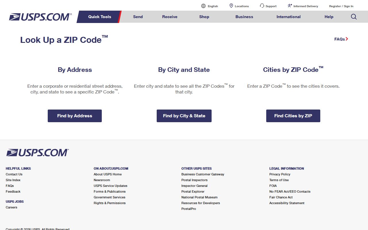
The USPS interface is useful for checking mailing format before an address is entered into a parcel, deed, or city-service search.
Hopewell ZIP Portal Fields
Once a postal check gives a complete street address, move to the city’s CivQuest Atlas for the Hopewell property route. CivQuest is not documented as a ZIP-filtered resident search. It accepts address, parcel number, legal description, and map searches, which makes it the city-specific next step after a ZIP has narrowed the location. Its listed layers include zoning, contours, FEMA hazard areas, Chesapeake Bay Protection Areas, Enterprise Zones, and wards.
| Documented CivQuest field | Use after postal normalization |
|---|---|
| Address | Checks the complete street location in the city parcel system. |
| Parcel number | Continues a search when a local property reference is already known. |
| Legal description | Matches an address with the land language used in a recorded instrument. |
| Map | Shows the location against documented city layers. |
The research did not capture a live CivQuest result card. Do not assume a particular parcel field is visible until the official result is open. The city also cautions that its map is general information, not a survey or floodplain determination.
Search a Hopewell ZIP
A ZIP can reduce the number of addresses to check, but the official Hopewell pathways remain address or parcel based. CivQuest handles the city property search. Annual land books preserve assessment material by year. The Hopewell Circuit Court Clerk maintains land instruments, while city departments hold their own administrative records. Virginia’s individual voter-status service requires personal inputs and is not a public ZIP-wide roll; regulated voter-list products have statutory eligibility and use limits.
- Use USPS to confirm the address format and postal city for the complete street address.
- Confirm whether the address is legally in Hopewell city, Prince George County, or another locality before selecting a custodian.
- Enter the confirmed address, parcel number, legal description, or map reference in CivQuest Atlas for a Hopewell property question.
- Use a land book or recorded-instrument route only for the dated property or document question being researched.
- Keep the record date with the result and recheck City Point or Prince George terminology for older material.
If an address search points to a city administrative file that has no public index, the fallback is a specific existing-record request. Under the Hopewell FOIA process, the city says it responds within five working days. A requester may inspect or copy existing records, ask for a cost estimate, and identify the department, address, date range, and record type. The Virginia Freedom of Information Act does not require the city to create a new ZIP-wide list or combine records into a new directory. The City Public Records Officer can be reached at 804-541-2247 or foia@hopewellva.gov.
Once a postal check narrows the location to one street, the Hopewell street directory provides the address-keyed workflow for property, deed, map, and administrative record paths.
Hopewell Wards beside ZIPs
ZIP geography and civic geography do different work. Hopewell’s 2022 ward map documents wards 1 through 7. Wards can provide a useful map layer when an address has been confirmed, but they are not postal zones and do not identify a household. Ward assignments and polling places can change, so election-cycle information needs a fresh check through the Hopewell Registrar at 106 N Main St, 804-541-2232, rather than a permanent assumption from an old map.
The city’s map layers include wards alongside zoning and environmental layers. That makes CivQuest useful for place context after a street is known. It does not make a ZIP a ward, and it does not convert an address map into a public list of names.
For an individual election-status question, Virginia’s official tool requires a name, date of birth, the last four digits of a Social Security number, locality, and a certification box. The Citizen Portal also routes people to registration, absentee, polling-place, district, ballot-status, and voting-history services. Neither one is a ZIP-wide person directory. Virginia voter-list products have separate statutory requester eligibility and signed-use restrictions, so an address or ward should not be used to reconstruct a public roster.
Note: Election status and official list requests follow different state rules from city parcel and map records.
Hopewell Census Tracts and ZIPs
Census tracts are another geography that should not be mistaken for ZIP coverage. The official 2010 Hopewell tract map provides a city and tract reference, while Census QuickFacts reports community statistics rather than a person list. The research recorded 23,261 as the July 1, 2025 population estimate, 23,033 for 2020, and 22,591 for 2010. Those date labels matter because an estimate and a decennial count are different measures.
The 2010 Hopewell tract map is an official reference for census geography, and Census QuickFacts is the source for the dated community figures. Neither source validates a delivery area. Use them to understand how the city has been measured, then return to USPS and the local custodian for an address-specific record question.
Use a tract map for statistical or historical place context, not to assign a specific ZIP to a street. When an address must be placed in an official city record, the address, parcel reference, legal jurisdiction, and relevant date remain stronger keys than a generalized statistical boundary.
City Point ZIP Search Names
Geography note: Hopewell’s historic name layer is part of a careful postal search. The Library of Virginia locality history records Hopewell’s 1916 independent-city status, the 1923 City Point annexation, and later annexations of Prince George County territory in 1952 and 1969. An old deed, map, directory, or census reference may use City Point or Prince George County even when a current mailing address uses Hopewell.
The Library of Virginia locality-history page is the source for this postal-history image.
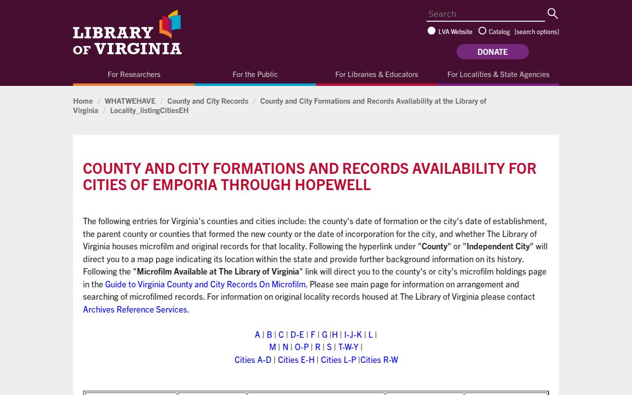
The historical timeline in the source explains why postal labels and legal locality names need to be preserved separately in older Hopewell research.
Hopewell ZIP Boundary Limits
A ZIP boundary supports mail delivery. It does not prove municipal jurisdiction, parcel ownership, ward assignment, a record custodian, or a person’s connection to an address. Hopewell’s independent-city status and the 23860 North Prince George example make that distinction practical rather than theoretical. Confirm the complete address with USPS, then select the city, county, court, or historic pathway that matches the record date and jurisdiction.
- ZIP and ZIP+4
- A ZIP identifies a delivery area; ZIP+4 adds a more specific delivery segment for an address.
- PO-box ZIP
- A postal code assigned for post-office-box delivery rather than a broad street-delivery area.
- Unique ZIP
- A postal code assigned to one organization or destination; none was verified for Hopewell in the research.
- Carrier route
- A postal delivery sequence used for mail operations, not a municipal or property boundary.